Mississippi weather as unpredictable as ever
Published 10:56 am Monday, January 2, 2017
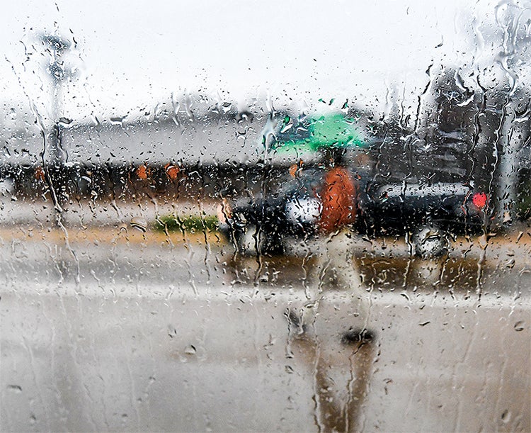
- Rain rolls down a window as a passer-by walks along North Lamar in the rain in Oxford, Miss. on Monday, January 2, 2017.
Oxford could see some severe weather this afternoon while warm and cold fronts battle it out over Mississippi.
According to the National Weather Service, warm air from the gulf coast arrived in Oxford this morning and is set to collide with a small cold front later this afternoon.
Meteorologist William Churchill said while the storms may get a little gusty, the biggest threat for this afternoon is hail.
“North Mississippi is under a slight risk for severe weather,” Churchill said this morning. “There could be an isolated tornado with this type of weather, but the main threat will be hail and strong winds in some areas.”
The high for today is close to 70. However, dark cloud coverage may make it feel cooler. The rain is expected to end later tonight and tomorrow is forecast to be party cloudy with a high near 67. However, the cold front will cause temperatures to drop throughout Tuesday into the high 30s by Tuesday night.
Temperatures will continue to drop as a stronger cold front comes into north Mississippi on Wednesday and will remain near or below normal for the remainder of the week into the weekend.
Churchill said there’s a chance Oxford could see some snow or wintry mix Friday night into Saturday, but as unstable Mississippi weather can be, it’s too early to predict with certainty.
“We need today’s system to pass and then look at the models to get a better handle of it,” Churchill said. “The biggest chance, right now, for wintry weather is Friday night. But the timing is uncertain.”
Lafayette County saw 6 inches of rain in December, which is about an inch above normal. While Lafayette County remains under a moderate drought, Churchill said he expects the area to be out of the drought after today.
“With all this rain over the last couple of days, we expect more improvement in drought conditions in Mississippi,” he said.
More News


-
-
-
Polls
 Loading ...