UPDATED: Severe Thunderstorm Activity Continues in North MS
Published 5:13 pm Saturday, December 9, 2023
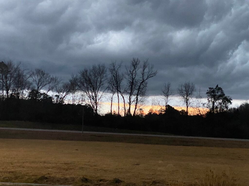
- Photo by Jimmy Durham (The Oxford Eagle).
UPDATED: The National Weather Service has identified a severe thunderstorm at 5:10 p.m. CST near Velma, about 10 miles south of Water Valley, moving eastward at 45 mph. This storm brings significant risks, including 60 mph wind gusts and hail the size of half dollars, as confirmed by radar.
The expected impact of this storm includes hail damage to vehicles and potential wind damage to buildings and trees. Communities in the path of this storm include Water Valley, Bruce, Coffeeville, Banner, Velma, Paris, and several others.
Residents in these areas are advised to seek shelter and take necessary precautions against potential damage. Stay updated on this severe weather situation for your safety.
UPDATED: The National Weather Service in Memphis continues its severe thunderstorm warning, now extended until 6:00 p.m. CST. This warning covers southeastern Lafayette County, northern Pontotoc County, southeastern Union County, and northwestern Lee County.
As of 5:08 p.m. CST, the severe thunderstorm was located near Tula, approximately 15 miles southeast of Oxford, moving east at a speed of 50 mph. Radar data indicates hazards including 60 mph wind gusts and half dollar-sized hail.
The National Weather Service in Memphis has updated its severe weather advisories for northwestern Mississippi. At 4:58 p.m. CST, a severe thunderstorm was located near Denmark, just 7 miles southeast of Oxford, moving northeast at 50 mph. This storm brings hazards such as 60 mph wind gusts and half dollar-sized hail. The radar has confirmed these conditions.
The impact includes potential hail damage to vehicles and wind damage to roofs, siding, and trees. Affected locations include Oxford, Ecru, Tula, Denmark, and several other areas.
Simultaneously, at 4:56 p.m. CST, another severe thunderstorm was identified near Scobey, about 12 miles southeast of George Payne State Park, moving east at 45 mph. This storm similarly carries risks of 60 mph wind gusts and half dollar-sized hail.
Areas likely to be impacted by this second storm include Water Valley, Bruce, Coffeeville, and numerous other locations. The warning is in effect for southeastern Lafayette County, Yalobusha County, northern Calhoun County, and southwestern Pontotoc County until 5:45 p.m. CST.
Residents in these areas should seek shelter and protect themselves from potential hail and wind damage. Stay updated and exercise caution during these severe weather conditions.
More News


SportsPlus
How to Pick the Maple Leafs vs. Predators Game with Odds, Spread, Betting Line and Stats – December 4
Wanting to place some wagers on the upcoming contest (Wednesday at 7:30 PM ET) between the Toronto Maple…
How to Watch SEC College Basketball Games – Tuesday, December 3
SEC teams will hit the court in 10 games on Tuesday’s college basketball schedule. That includes the Kentucky…
How to Watch AAC College Basketball Games – Tuesday, December 3
There are three games featuring an AAC team on the Tuesday college basketball schedule, including the UTSA Roadrunners…
How to Watch Louisville vs. Ole Miss on TV or Live Stream – December 3
The Louisville Cardinals (5-2) go up against the No. 23 Ole Miss Rebels (6-1) at 9:00 PM ET…
Lions, Bills, Week 14 NFL Power Rankings
Week 14 of the NFL schedule is upon us. To find out how each team compares to the…
-
-
-
Polls
 Loading ...