Tornado Watch in effect until 11 a.m. Friday
Published 6:34 am Friday, January 12, 2024
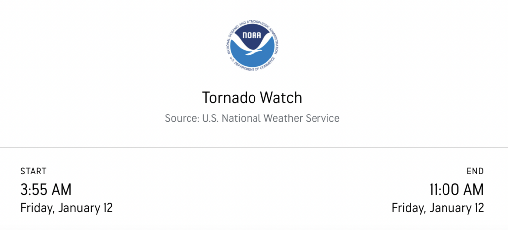
At 3:55 a.m. on Friday, Jan. 12, the National Weather Service issued a tornado watch for areas that include North and Central Mississippi counties including Lafayette County. The watch is in effect until 11 a.m. on Friday morning.
Unseasonably warm conditions are fueling a fast moving weather system that will bring high winds, heavy rains and possibly hail.
After the storm moves through a cold front will cause temperatures to fall throughout the day and into the weekend. Frigid temperatures will continue.
The complete list of counties under the watch is Alcorn, Attala, Benton, Bolivar, Calhoun, Carroll, Chickasaw, Choctaw, Claiborne, Clay, Coahoma, Desoto, Grenada, Hinds, Holmes, Humphreys, Issaquena, Itawamba, Kemper, Lafayette, Lauderdale, Leake, Lee, Leflore, Lowndes, Madison, Marshall, Monroe, Montgomery, Neshoba, Newton, Noxubee, Oktibbeha, Panola, Pontotoc, Prentiss, Quitman, Rankin, Scott, Sharkey, Sunflower, Tallahatchie, Tate, Tippah, Tishomingo, Tunica, Union, Warren, Washington, Webster, Winston, Yalobusha and Yazoo.
After 11 a.m., the area will remain under a Wind Advisory issued by The National Weather Service until Saturday, Jan. 13, at midnight. Southwest winds with guests between 20 and 55 miles per hour are expected. Secure any outdoor furniture, potted plants, fixtures that could be blown by the high winds.
We will continue to update our readers through the weekend as we expect a severe winter storm that could bring snow and ice to hit late weekend into Monday.
More Weather


SportsPlus
How to Watch the Grizzlies vs. Jazz Game: Streaming & TV Channel Info for October 23
The Utah Jazz start their 2024-25 NBA season on October 23, 2024, taking on the Memphis Grizzlies at…
NFL Week 8 Picks Against the Spread, Tips and Predictions
Looking for the best against-the-spread bet among all 16 NFL matchups in Week 8? Our choice, in terms…
NFL Week 8 Computer Predictions, Best Bets, Over/Under Picks
According to our projections, the best bet versus the spread in the NFL among Week 8’s 16 matchups…
How to Watch the NBA Today, October 23
Today’s NBA slate features 10 contests, including the Indiana Pacers against the Detroit Pistons. Searching for how to…
NBA Spread and Total Picks for Today, October 23
The contests in a Wednesday NBA schedule sure to please include the Orlando Magic squaring off against the…
-
-
-
Polls
 Loading ...