Flooding possible as bitter cold gives way to rain, warmer temps this week
Published 9:21 am Monday, January 22, 2024
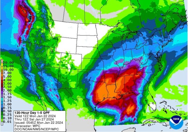
- Image from the NWS
Old Man Winter will be releasing his grip on Oxford this week with temperatures gradually rising to what will feel more like spring. But with that warming trend comes lots of rain.
However, the rain should wash away any remaining ice and snow left around town. Lafayette County could see 5 to 6 inches of rain this week, which could cause flooding issues with the snow and ice also melting.
Today’s high is expected to reach 47 degrees. The sun will make an appearance this morning; however, some showers could move into our area after 3 p.m., according to the National Weather Service.
The heavier rain is expected after midnight. The low should get to around 39 degrees which should prevent the refreezing of any precipitation. The arrival of the warm front tonight will cause it to be breezy, with winds around 10 to 20 mph and gusts up to 25 mph.
Tuesday’s high should be near 56, with rain throughout the day. A thunderstorm is possible after midnight and gusty conditions are expected to continue.
The heaviest rains are expected on Wednesday with a possible 2 to 3 inches falling. The high on Wednesday is expected to be 63 degrees with it dropping just to 57 degrees overnight.
Rain continues to be in the forecast on Thursday with showers and thunderstorms before noon and continuing throughout the day. The high is expected to be 63 degrees with a low of 47 degrees Thursday night. There is only a 20 percent chance of rain on Thursday night.
There is currently a 50 percent chance of showers on Friday and Saturday. Temperatures will begin to dip down again slightly toward the weekend with the highs expected to be around 58-60 degrees on Friday and Saturday with lows in the 40s.
Sunday is expected to be partly sunny with a high near 50.
More News


SportsPlus
How to Watch Top 25 College Basketball Games – Tuesday, December 3
The Kentucky Wildcats and the Clemson Tigers hit the court for one of seven games on the college…
Top 25 College Hoops Picks Against the Spread – Tuesday, December 3
Top 25 teams will take the court in seven games on Tuesday’s college basketball schedule. That includes the…
NBA Best Bets: Mavericks vs. Grizzlies Picks for December 3
The Dallas Mavericks (13-8) bring a four-game win streak into a home matchup with the Memphis Grizzlies (14-7),…
How to Watch the NBA Today, December 3
Today’s NBA slate has 11 quality games in store. Among them is the Memphis Grizzlies facing the Dallas…
NBA Spread and Total Picks for Today, December 3
The Indiana Pacers versus the Toronto Raptors is a game to see on a Tuesday NBA slate that…
-
-
-
Polls
 Loading ...